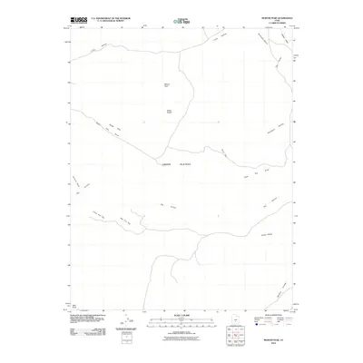
2010 Map of Moroni Peak
USGS Topo · Published 2010About this map
Awapa Plateau dominates this high-altitude landscape in Wayne County, where the topography is defined by a series of prominent peaks and deep drainage systems. The survey centers on Moroni Peak and the curiously named Elsies Nipple, providing a detailed view of the natural landmarks that have guided travelers through this part of Utah for generations.
Find a feature on this map
17 named features on this map. Tap any name to fly to it.
Don’t see what you’re looking for? This feature index may not catch every label — zoom into the map to look around manually.
Map Details
Editions of this 2010 Moroni Peak Map
This is the sole edition of this map. No revisions or reprints were ever made.
Other maps of this area

1885 · Fish Lake
USGS Topo · 1:250,000

1896 · Fish Lake
USGS Topo · 1:250,000

1952 · Loa 1 SE
USGS Topo · 1:24,000

1952 · Loa 1 NE
USGS Topo · 1:24,000

1953 · Loa 4 NE
USGS Topo · 1:24,000

1956 · Salina
USGS Topo · 1:250,000

1960 · Salina
USGS Topo · 1:250,000

1962 · Salina
USGS Topo · 1:250,000

1967 · Lyman
USGS Topo · 1:24,000
1969 · Smooth Knoll
USGS Topo · 1:24,000