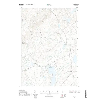
2021 Map of Morrill
USGS Topo · Published 2021About this map
Quantabacook Lake anchors the southern landscape of this Waldo County interior, surrounded by the marshy reaches of Witcher Swamp and Smiths Millpond Bog. The topography is defined by significant elevations such as Spears Mtn and Frye Mtn in the northwest, which overlook a network of rural roads connecting small, established settlements. For those tracing local heritage, the map identifies several distinct burial grounds including Morrill Village Cem and the Foster Carter Cem. The community of Morrill serves as a central hub, while outlying areas like North Searsmont and Belmont Corner highlight the historic crossroads nature of the region. The drainage patterns of Poland Stream and Bartlett Stream reveal how the terrain historically dictated movement and settlement between these upland hills and the low-lying bogs.
Find a feature on this map
84 named features on this map. Tap any name to fly to it.
Don’t see what you’re looking for? This feature index may not catch every label — zoom into the map to look around manually.
Map Details
Editions of this 2021 Morrill Map
This is the sole edition of this map. No revisions or reprints were ever made.
Other maps of this area

1915 · Belfast
USGS Topo · 1:62,500

1916 · Liberty
USGS Topo · 1:62,500

1917 · Belfast
USGS Topo · 1:62,500

1926 · Burnham
USGS Topo · 1:62,500

1932 · Brooks
USGS Topo · 1:62,500

1941 · Belfast
USGS Topo · 1:62,500

1942 · Liberty
USGS Topo · 1:62,500

1948 · Bangor
USGS Topo · 1:250,000

1950 · Belfast
USGS Topo · 1:50,000

1950 · Liberty
USGS Topo · 1:50,000