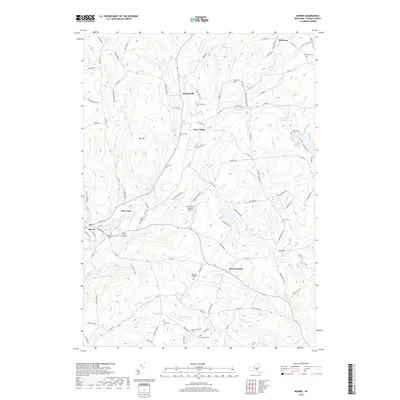
2019 Map of Morris
USGS Topo · Published 2019About this map
Butternut Creek and its many tributaries carve through this pocket of Otsego County, defining the settlement patterns of small communities like Morris, New Lisbon, and West Laurens. The landscape is notably dotted with numerous small family and community burial grounds, such as the Quaker Burying Ground, Hillington Cem, and the Old Church Cem, which serve as vital markers for local genealogical research. In the northern reaches, the village of Welcome sits near the headwaters of Stony Cr, while the rural uplands are marked by landmarks like Gill Hill and the uniquely named Don Kichote-Quixote Airport. The map also details the winding paths of Wharton Cr and Harrison Cr, illustrating how the region's topography is shaped by the constant presence of water moving through the hills.
Find a feature on this map
112 named features on this map. Tap any name to fly to it.
Don’t see what you’re looking for? This feature index may not catch every label — zoom into the map to look around manually.
Map Details
Editions of this 2019 Morris Map
This is the sole edition of this map. No revisions or reprints were ever made.
Other maps of this area

1910 · Hartwick
USGS Topo · 1:62,500

1910 · New Berlin
USGS Topo · 1:62,500

1912 · New Berlin
USGS Topo · 1:62,500

1912 · Hartwick
USGS Topo · 1:62,500

1915 · Oneonta
USGS Topo · 1:62,500

1915 · Unadilla
USGS Topo · 1:62,500

1918 · Unadilla
USGS Topo · 1:62,500

1918 · Oneonta
USGS Topo · 1:62,500

1943 · Mt Vision
USGS Topo · 1:24,000

1943 · New Berlin North
USGS Topo · 1:24,000