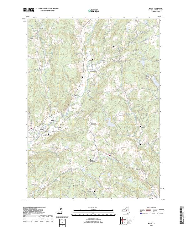
2023 Map of Morris
USGS Topo · Published 2023About this map
Morris and the surrounding Otsego County countryside are defined by a network of rural hamlets and small water bodies that trace the deep valleys of the Catskill foothills. The village of Morris sits at the confluence of Butternut Creek and Cahoone Creek, where early settlement patterns are still visible in the distribution of family and communal burial sites like the Quaker Burying Ground and Hillington Cem. The landscape transitions from the agricultural flats near Elm Grove to the high ground of Gill Hill, punctuated by namesake landmarks such as the Don Kichote-Quixote Airport and the tucked-away Lake of the Twin Fawns.
Find a feature on this map
106 named features on this map. Tap any name to fly to it.
Don’t see what you’re looking for? This feature index may not catch every label — zoom into the map to look around manually.
Map Details
Editions of this 2023 Morris Map
This is the sole edition of this map. No revisions or reprints were ever made.
Other maps of this area

1910 · Hartwick
USGS Topo · 1:62,500

1910 · New Berlin
USGS Topo · 1:62,500

1912 · New Berlin
USGS Topo · 1:62,500

1912 · Hartwick
USGS Topo · 1:62,500

1915 · Oneonta
USGS Topo · 1:62,500

1915 · Unadilla
USGS Topo · 1:62,500

1918 · Unadilla
USGS Topo · 1:62,500

1918 · Oneonta
USGS Topo · 1:62,500

1943 · Mt Vision
USGS Topo · 1:24,000

1943 · New Berlin North
USGS Topo · 1:24,000