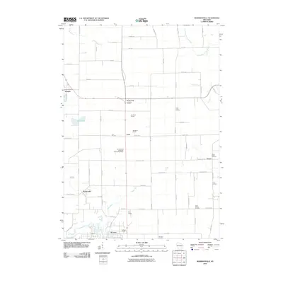
2010 Map of Morrisonville
USGS Topo · Published 2010About this map
The Yahara River and Rowan Creek define the drainage of this agricultural landscape in Dane County during the early 21st century. The map centers on a cluster of rural hamlets including North Leeds, Leeds, and Keyeser, where the layout of section-line roads like Kampen Rd and Manthe Rd reflects the deep-rooted grid of Wisconsin dairy country. Extensive genealogical data is preserved through numerous burial grounds, such as Greenwood Cemetery, Zion Cemetery, and the Moravian Cemetery near the southern edge.
Find a feature on this map
41 named features on this map. Tap any name to fly to it.
Don’t see what you’re looking for? This feature index may not catch every label — zoom into the map to look around manually.
Map Details
Editions of this 2010 Morrisonville Map
This is the sole edition of this map. No revisions or reprints were ever made.
Other maps of this area

1890 · Madison
USGS Topo · 1:62,500

1890 · Sun Prairie
USGS Topo · 1:62,500

1892 · Madison
USGS Topo · 1:62,500

1896 · Sun Prairie
USGS Topo · 1:62,500

1901 · Poynette
USGS Topo · 1:62,500

1904 · Madison
USGS Topo · 1:62,500

1905 · Sun Prairie
USGS Topo · 1:62,500

1906 · Madison
USGS Topo · 1:62,500

1907 · Sun Prairie
USGS Topo · 1:62,500

1955 · Columbus
USGS Topo · 1:62,500