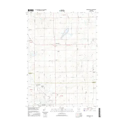
2016 Map of Morrisonville
USGS Topo · Published 2016About this map
The Yahara River and its upper tributaries define the landscape of this southern Wisconsin region along the Columbia and Dane County border. Agricultural land dominates the area, punctuated by a network of rural settlements such as North Leeds, Leeds, and Keyeser. The village of Morrisonville stands out in the southwest, supported by specialized infrastructure like the Morrisonville International Airport, while DeForest begins to appear at the southern edge.
Find a feature on this map
59 named features on this map. Tap any name to fly to it.
Don’t see what you’re looking for? This feature index may not catch every label — zoom into the map to look around manually.
Map Details
Editions of this 2016 Morrisonville Map
This is the sole edition of this map. No revisions or reprints were ever made.
Other maps of this area

1890 · Madison
USGS Topo · 1:62,500

1890 · Sun Prairie
USGS Topo · 1:62,500

1892 · Madison
USGS Topo · 1:62,500

1896 · Sun Prairie
USGS Topo · 1:62,500

1901 · Poynette
USGS Topo · 1:62,500

1904 · Madison
USGS Topo · 1:62,500

1905 · Sun Prairie
USGS Topo · 1:62,500

1906 · Madison
USGS Topo · 1:62,500

1907 · Sun Prairie
USGS Topo · 1:62,500

1955 · Columbus
USGS Topo · 1:62,500