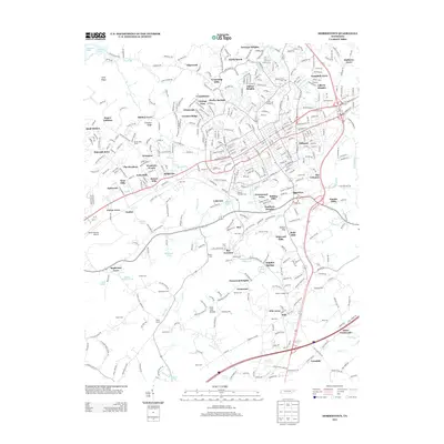
2013 Map of Morristown
USGS Topo · Published 2013About this map
The Norfolk Southern rail line bisects this portion of East Tennessee, anchoring a landscape that blends residential expansion with deep-rooted agricultural and burial sites. In the north, Cherokee Lake defines the edge of the terrain, while the city's growth is evident in the dense cluster of named subdivisions like Greenwood Acres, Rolling Hills, and Drinnon Heights. This 21st-century record maintains a meticulous catalog of local family history, noting numerous small burial grounds such as Roe Cem, Witt Cem, and McFarland Cem.
Find a feature on this map
433 named features on this map. Tap any name to fly to it.
Don’t see what you’re looking for? This feature index may not catch every label — zoom into the map to look around manually.
Map Details
Editions of this 2013 Morristown Map
This is the sole edition of this map. No revisions or reprints were ever made.
Other maps of this area

1883 · Morristown
USGS Topo · 1:125,000

1893 · Morristown
USGS Topo · 1:125,000

1895 · Morristown
USGS Topo · 1:125,000

1935 · White Pine
USGS Topo · 1:24,000

1935 · Rogersville
USGS Topo · 1:48,000

1935 · Tate Springs
USGS Topo · 1:48,000

1935 · Springvale
USGS Topo · 1:24,000

1935 · Avondale
USGS Topo · 1:24,000

1935 · Morristown
USGS Topo · 1:24,000

1935 · Russellville
USGS Topo · 1:24,000