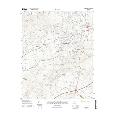
2016 Map of Morristown
USGS Topo · Published 2016About this map
Morristown serves as the central hub of this East Tennessee landscape, where the residential expansion of Hillcrest, Ridgeview, and Sunset Hills meets the industrial and educational infrastructure of Walters State Community Coll. The terrain is defined by the sharp ridges of Crockett Ridge and Bays Mountain, which guide the path of the Southern railroad and several state routes through the valley. Along the outskirts, smaller communities like Roe Junction, Havley Springs, and Hales Crossroads maintain their distinct identities near the waters of Cherokee Lake.
Find a feature on this map
316 named features on this map. Tap any name to fly to it.
Don’t see what you’re looking for? This feature index may not catch every label — zoom into the map to look around manually.
Map Details
Editions of this 2016 Morristown Map
This is the sole edition of this map. No revisions or reprints were ever made.
Other maps of this area

1883 · Morristown
USGS Topo · 1:125,000

1893 · Morristown
USGS Topo · 1:125,000

1895 · Morristown
USGS Topo · 1:125,000

1935 · White Pine
USGS Topo · 1:24,000

1935 · Rogersville
USGS Topo · 1:48,000

1935 · Tate Springs
USGS Topo · 1:48,000

1935 · Springvale
USGS Topo · 1:24,000

1935 · Avondale
USGS Topo · 1:24,000

1935 · Morristown
USGS Topo · 1:24,000

1935 · Russellville
USGS Topo · 1:24,000