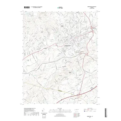
2019 Map of Morristown
USGS Topo · Published 2019About this map
Morristown sits at the heart of this East Tennessee landscape, where the urban grid meets the ridges and hollows of the Appalachian Valley. The map documents the sprawling residential growth of neighborhoods like Sunset Hills, Hillcrest, and Tigertown during the early 21st century. To the south, the boundary between Hamblen Co and Jefferson Co cuts through a landscape defined by prominent relief, including the heights of Bays Mountain and the deep cut of Aunt Jane Hollow. Genealogists will find a wealth of local landmarks, from the Watkins Chapel Cem and Skeen Cem to named crossroads like Roe Junction and Hales Crossroads. The area's hydrology is marked by the presence of Sulphur Springs and Cherokee Lake to the northwest, illustrating the complex drainage patterns of the ridge-and-valley system. Modern infrastructure, including the Moore-Murrell Airport and several business parks, highlights the region's contemporary role as a regional industrial hub.
Find a feature on this map
66 named features on this map. Tap any name to fly to it.
Don’t see what you’re looking for? This feature index may not catch every label — zoom into the map to look around manually.
Map Details
Editions of this 2019 Morristown Map
This is the sole edition of this map. No revisions or reprints were ever made.
Other maps of this area

1883 · Morristown
USGS Topo · 1:125,000

1893 · Morristown
USGS Topo · 1:125,000

1895 · Morristown
USGS Topo · 1:125,000

1935 · White Pine
USGS Topo · 1:24,000

1935 · Rogersville
USGS Topo · 1:48,000

1935 · Tate Springs
USGS Topo · 1:48,000

1935 · Springvale
USGS Topo · 1:24,000

1935 · Avondale
USGS Topo · 1:24,000

1935 · Morristown
USGS Topo · 1:24,000

1935 · Russellville
USGS Topo · 1:24,000