Loading...
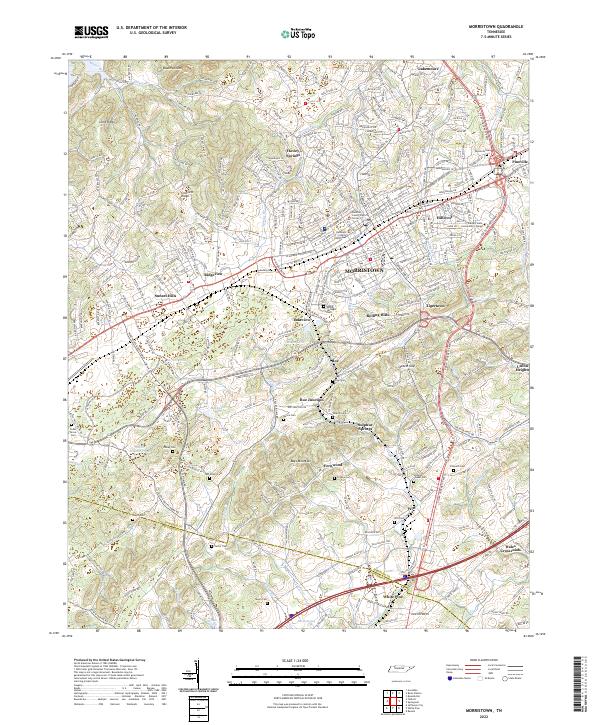
Loading map...2022 Map of Morristown
USGS Topo · Published 2022About this map
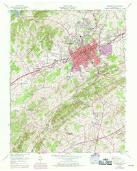
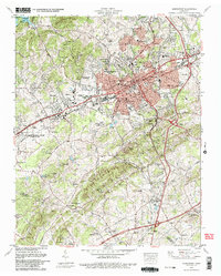
Morristown serves as the central hub of this modern topography, situated within the ridge-and-valley landscape of Hamblen Co. The urban core is anchored by the Hamblen County Courthouse and Hamblen County Justice Center, with the campus of Walters State Community College defining the eastern city limits near Hillcrest. The Norfolk Southern railway bisects the terrain, connecting industrial areas and established neighborhoods like Tigertown and Rolling Hills.
Find a feature on this map
325 named features on this map. Tap any name to fly to it.
Don’t see what you’re looking for? This feature index may not catch every label — zoom into the map to look around manually.
Map Details
Date Portrayed2022
Date Published2022
PublisherU.S. Geological Survey
Map TypeTopographic
Scale1:24000
Physical Dimensions24 x 29 inches
Editions of this 2022 Morristown Map
This is the sole edition of this map. No revisions or reprints were ever made.
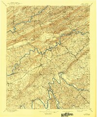
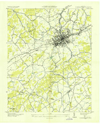
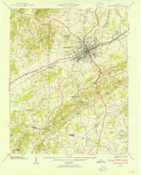
Historical Maps of Fernwood Through Time
9 maps found


Featured Locations
Source Details
SourceU.S. Geological Survey
CopyrightPublic Domain