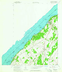
1963 Map of Morristown
USGS Topo · Published 1964About this map
Morristown sits at the northern edge of this St. Lawrence County landscape, overlooking the international boundary along the St Lawrence River. The village shows a developed waterfront with Morristown Point and Chapman Bay, while the neighboring summer colonies of Terrace Park and Edgewater Park cluster along the shoreline to the east. Inland, the community of Brier Hill serves as a local hub, anchored by the Brier Hill Station and several burial grounds including Sunnyside Cem and Greenwood Cem.
Find a feature on this map
58 named features on this map. Tap any name to fly to it.
Don’t see what you’re looking for? This feature index may not catch every label — zoom into the map to look around manually.
Map Details
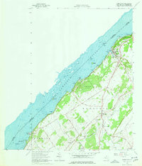
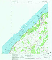
Editions of this 1963 Morristown Map
3 editions found
Other maps of this area

1903 · Alexandria Bay
USGS Topo · 1:62,500

1906 · Brier Hill
USGS Topo · 1:62,500

1912 · Hammond
USGS Topo · 1:62,500

1942 · Morristown
USGS Topo · 1:24,000

1943 · Morristown
USGS Topo · 1:31,680

1943 · Edwardsville
USGS Topo · 1:31,680
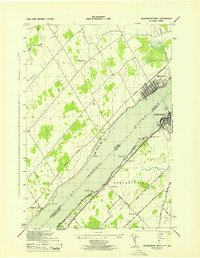
1943 · Ogdensburg West
USGS Topo · 1:31,680

1944 · Hammond
USGS Topo · 1:62,500

1948 · Chippewa Bay
USGS Topo · 1:24,000

1948 · Alexandria Bay
USGS Topo · 1:62,500