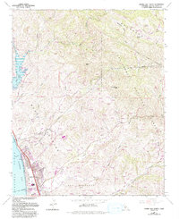
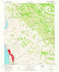
1965 Map of Morro Bay North
USGS Topo · Published 1993About this map
Whale Rock Reservoir dominates the coastal foothills in this mapping of the Central Coast, marking a landscape defined by sharp canyons and seasonal drainages. Established just north of Morro Bay, the map captures the intersection of expanding suburban infrastructure and the protected wilderness of the Los Padres National Forest. The transition from the Pacific Ocean shoreline at Morro Strand State Beach into the rugged interior follows the paths of Cottontail Creek, Toro Creek, and San Bernardo Creek.
Find a feature on this map
39 named features on this map. Tap any name to fly to it.
Don’t see what you’re looking for? This feature index may not catch every label — zoom into the map to look around manually.
Map Details
Editions of this 1965 Morro Bay North Map
2 editions found
Other maps of this area

1897 · San Luis Obispo
USGS Topo · 1:62,500

1897 · Cayucos
USGS Topo · 1:62,500

1900 · San Luis
USGS Topo · 1:125,000

1919 · Paso Robles
USGS Topo · 1:62,500

1919 · Adelaida
USGS Topo · 1:62,500

1932 · Adelaida
USGS Topo · 1:62,500

1937 · Cayucos
USGS Topo · 1:62,500

1942 · Adelaida
USGS Topo · 1:62,500

1942 · San Luis Obispo
USGS Topo · 1:62,500

1943 · Paso Robles
USGS Topo · 1:62,500