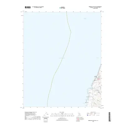
2018 Map of Morro Bay South OE W
USGS Topo · Published 2018About this map
Point Buchon anchors the jagged coastline on this coastal survey, where the terrestrial landscape meets the Pacific Ocean. This section of the San Luis Obispo County shore is characterized by a dense network of hiking and recreational paths, including the Oats Peak Trl and Valencia Peak Trl, which navigate the coastal bluffs and canyons. The presence of Spooners Cove and Quarry Cove suggests a history of maritime utility and natural shelter along an otherwise exposed littoral. Inland, the terrain is shaped by features like Hazard Canyon and the Rattlesnake Flats Trl, which terminate near the marine terrace. The layout of Pecho Valley Rd serves as the primary artery connecting these shoreline landmarks, reflecting a modern era focused on conservation and public access to the Central Coast's unique geography.
Find a feature on this map
28 named features on this map. Tap any name to fly to it.
Don’t see what you’re looking for? This feature index may not catch every label — zoom into the map to look around manually.
Map Details
Editions of this 2018 Morro Bay South OE W Map
This is the sole edition of this map. No revisions or reprints were ever made.
Other maps of this area

1897 · Port Harford
USGS Topo · 1:62,500

1897 · Cayucos
USGS Topo · 1:62,500

1900 · San Luis
USGS Topo · 1:125,000

1937 · Cayucos
USGS Topo · 1:62,500

1941 · Port San Luis
USGS Topo · 1:62,500

1943 · Cayucos
USGS Topo · 1:62,500
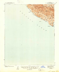
1945 · Port San Luis
USGS Topo · 1:62,500

1947 · San Luis Obispo
USGS Topo · 1:250,000

1948 · San Luis Obispo
USGS Topo · 1:250,000
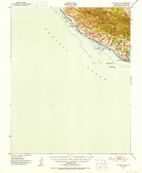
1951 · Port San Luis
USGS Topo · 1:62,500