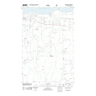
2011 Map of Morse Creek
USGS Topo · Published 2011About this map
The Strait of Juan de Fuca defines the northern edge of this coastal landscape, where the Olympic Peninsula meets the sea at Green Point. Moving inland, the terrain is shaped by the parallel drainages of Morse Creek, Bagley Creek, and Siebert Creek, which flow northward from the foothills of the Olympic Mountains toward Port Angeles Harbor. This 2011 survey reveals a mosaic of residential development and traditional land use, anchored by rural centers like Mount Pleasant and R Corner.
Find a feature on this map
122 named features on this map. Tap any name to fly to it.
Don’t see what you’re looking for? This feature index may not catch every label — zoom into the map to look around manually.
Map Details
Editions of this 2011 Morse Creek Map
This is the sole edition of this map. No revisions or reprints were ever made.
Other maps of this area

1918 · Port Angeles
USGS Topo · 1:62,500

1938 · Mt Constance
USGS Topo · 1:125,000

1938 · Dungeness
USGS Topo · 1:62,500

1939 · Dungeness
USGS Topo · 1:62,500

1941 · Port Angeles
USGS Topo · 1:62,500

1944 · Mt. Angeles
USGS Topo · 1:62,500

1946 · Mt. Angeles
USGS Topo · 1:62,500

1946 · Tyler Peak
USGS Topo · 1:62,500

1948 · Tyler Peak
USGS Topo · 1:62,500

1950 · Ediz Hook
USGS Topo · 1:24,000