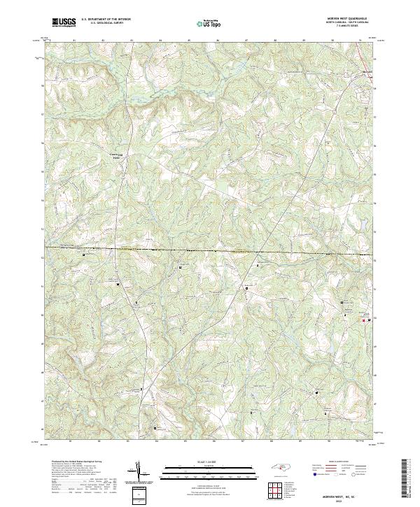
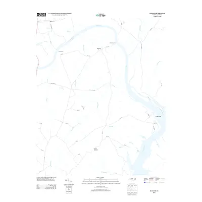
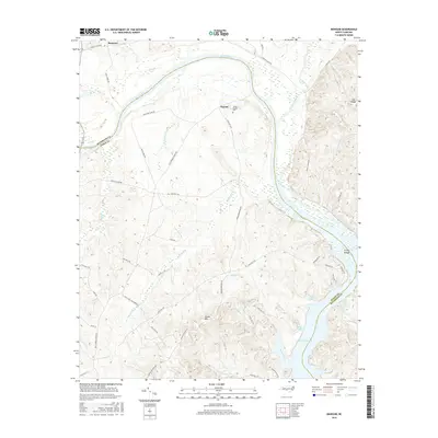
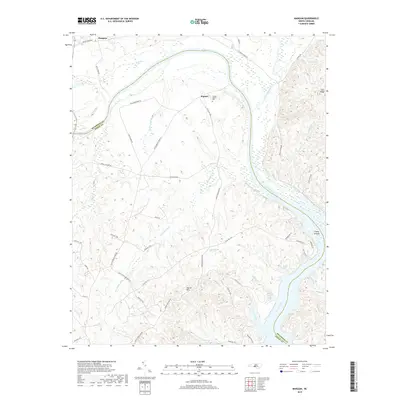
2022 Map of Morven West
USGS Topo · Published 2022About this map
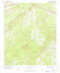
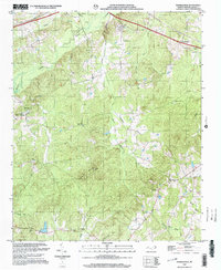
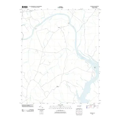
The borderlands of Anson County, North Carolina, and Chesterfield County, South Carolina, are defined here by a network of rural roads and watercourses. Morven stands at the northeastern edge of the sheet, where Old Plank Rd and Bethel Rd converge. This area is notably dense with small family and church burial grounds, reflecting the deep-rooted settlement patterns of the region. Distinctive sites like the Friendship Church Graveyard and Mount Level Church Cem are documented alongside numerous family plots such as the Bittle Family Cem and Griggs Cem. The landscape is carved by several major creek systems including Thompson Creek and the S Fork Jones Cr, while the central portion of the quadrangle is marked by Crawford Lake and the settlement of Cason Old Field.
Find a feature on this map
130 named features on this map. Tap any name to fly to it.
Don’t see what you’re looking for? This feature index may not catch every label — zoom into the map to look around manually.
Map Details
Editions of this 2022 Morven West Map
This is the sole edition of this map. No revisions or reprints were ever made.
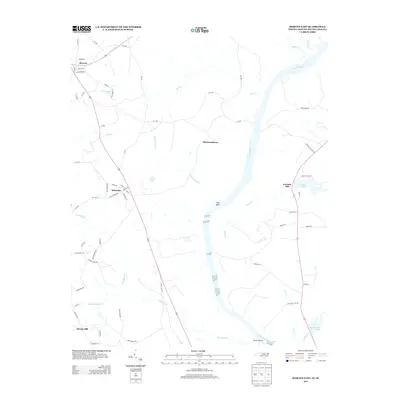
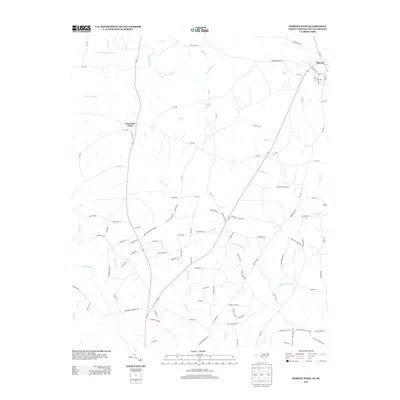
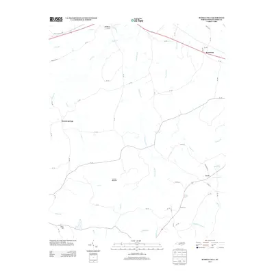
Historical Maps of Morven Through Time
28 maps found
1956 Mangum
Anson County, NC
1971 Morven East
Anson County, NC
1971 Morven West
Anson County, NC
1971 Russellville
Anson County, NC
1976 Mangum
Anson County, NC
1976 Morven East
Anson County, NC

2002 Mangum
Anson County, NC
2002 Russellville
Anson County, NC
2010 Mangum
Anson County, NC
2010 Russellville
Anson County, NC
2011 Morven East
Anson County, NC
2011 Morven West
Anson County, NC
2013 Mangum
Anson County, NC
2013 Morven East
Anson County, NC
2013 Morven West
Anson County, NC
2013 Russellville
Anson County, NC
2016 Mangum
Anson County, NC
2016 Morven East
Anson County, NC
2016 Morven West
Anson County, NC
2016 Russellville
Anson County, NC
2019 Mangum
Anson County, NC
2019 Morven East
Anson County, NC
2019 Morven West
Anson County, NC
2019 Russellville
Anson County, NC
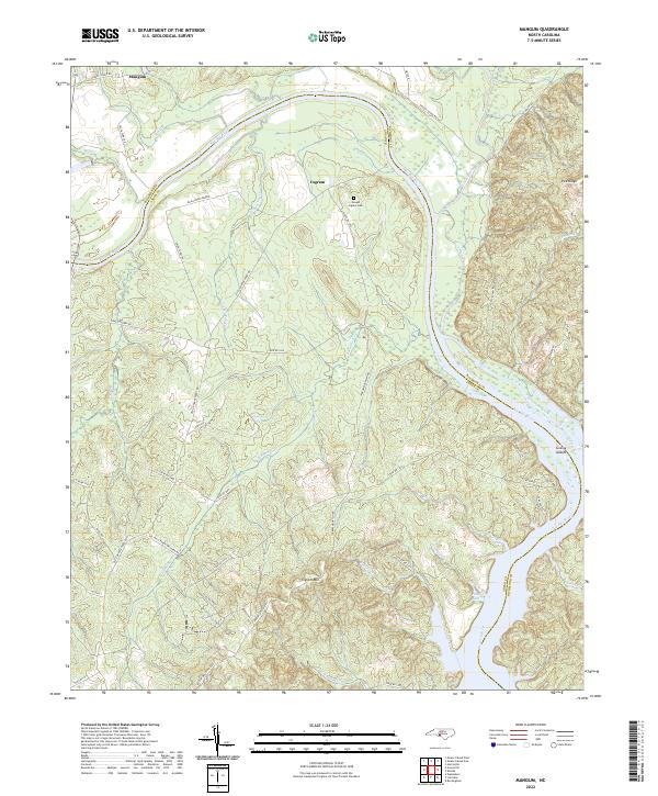
2022 Mangum
Anson County, NC
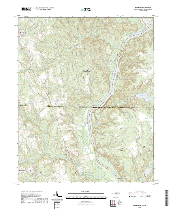
2022 Morven East
Anson County, NC
2022 Morven West
Anson County, NC
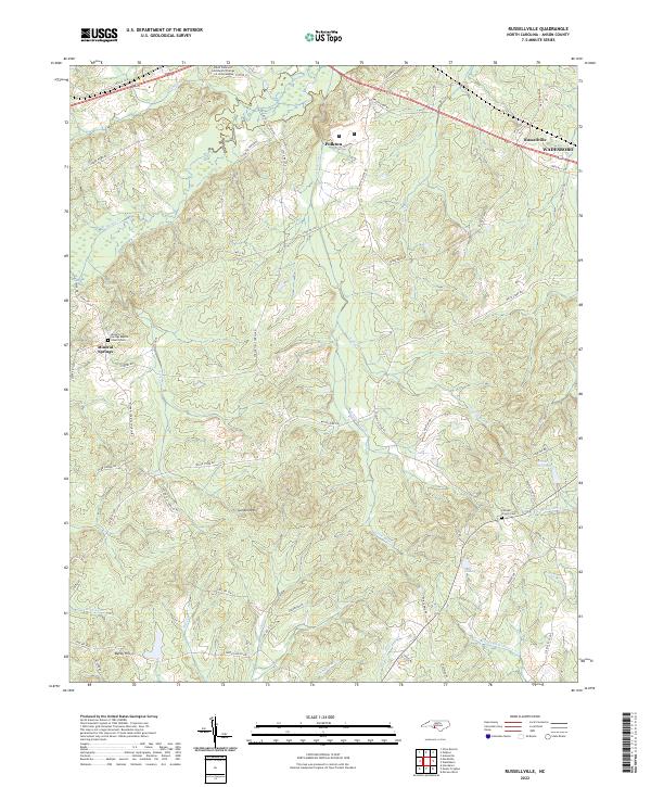
2022 Russellville
Anson County, NC