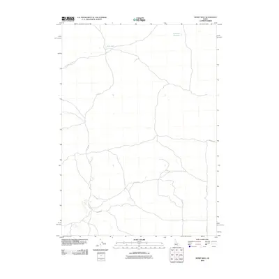
2010 Map of Mosby Well
USGS Topo · Published 2010About this map
Rock Lake and the Sand Lake Reservoir anchor the northern reaches of this Idaho landscape, which is defined by its volcanic geology and sparse rural infrastructure. The presence of Bear Trap Lava Tube Rd points to the unique subterranean features typical of this region's basaltic terrain. A network of local thoroughfares including Flat Top Rd, Schritter Rd, and Strang Rd cross the quadrangle, illustrating the layout of agricultural access and land management in this part of Bingham County. The grid-based road naming convention, seen in 1000 South Rd and 3600 West Rd, highlights the methodical surveying of the western plains during a period of modern ranching and rural development.
Find a feature on this map
8 named features on this map. Tap any name to fly to it.
Don’t see what you’re looking for? This feature index may not catch every label — zoom into the map to look around manually.
Map Details
Editions of this 2010 Mosby Well Map
This is the sole edition of this map. No revisions or reprints were ever made.
Other maps of this area

1934 · American Falls
USGS Topo · 1:62,500

1936 · American Falls
USGS Topo · 1:62,500

1954 · Pocatello
USGS Topo · 1:250,000

1955 · Idaho Falls
USGS Topo · 1:250,000

1958 · Idaho Falls
USGS Topo · 1:250,000

1958 · Pocatello
USGS Topo · 1:250,000

1971 · American Falls NW
USGS Topo · 1:24,000

1972 · Antelope Lake
USGS Topo · 1:24,000

1972 · Split Top
USGS Topo · 1:24,000

1972 · Mosby Well
USGS Topo · 1:24,000