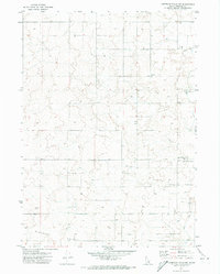
1971 Map of American Falls NW
USGS Topo · Published 1974About this map
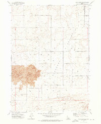
Pleasant Valley and the surrounding agricultural landscape of southern Idaho are the primary focus of this 1971 survey. The terrain is defined by irrigation infrastructure and scattered homesteads, reflecting the region's reliance on water management for desert farming. The High Line Canal cuts through the eastern portion of the sheet, providing the essential flow to sustain the local grain and potato fields.
Find a feature on this map
6 named features on this map. Tap any name to fly to it.
Don’t see what you’re looking for? This feature index may not catch every label — zoom into the map to look around manually.
Map Details
Editions of this 1971 American Falls NW Map
This is the sole edition of this map. No revisions or reprints were ever made.
Other maps of this area

1934 · American Falls
USGS Topo · 1:62,500

1936 · American Falls
USGS Topo · 1:62,500

1954 · Pocatello
USGS Topo · 1:250,000

1955 · Idaho Falls
USGS Topo · 1:250,000

1958 · Idaho Falls
USGS Topo · 1:250,000

1958 · Pocatello
USGS Topo · 1:250,000
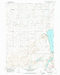
1971 · American Falls SW
USGS Topo · 1:24,000
1971 · Aberdeen
USGS Topo · 1:24,000
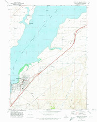
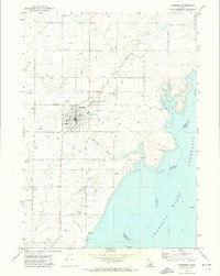
1971 · American Falls
USGS Topo · 1:24,000
1972 · Pillar Butte SE
USGS Topo · 1:24,000