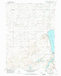
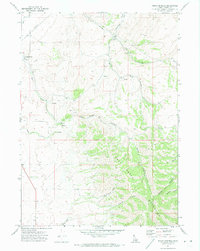
1971 Map of American Falls SW
USGS Topo · Published 1974About this map
The American Falls Reservoir and the Snake River dominate the eastern landscape of this 1971 survey, where Idaho's agricultural and industrial infrastructure meets the water's edge. The map captures a complex system of water management and transport, featuring the Union Pacific railroad corridor and a massive Canal system. Evidence of local ranching and rural industry is scattered across the Pleasant Valley terrain, from the Western Home Ranch to the Industrial Waste Pond and the nearby State Fish Hatchery. Natural hydrology is represented by Spring Hollow and Ferry Hollow, alongside vital springs such as Rueger Springs and Davis Springs. This edition is particularly valuable for its depiction of mid-century infrastructure, including the Deen Substation, a Filtration Plant, and a Gaging Station monitoring the river's flow.
Find a feature on this map
26 named features on this map. Tap any name to fly to it.
Don’t see what you’re looking for? This feature index may not catch every label — zoom into the map to look around manually.
Map Details
Editions of this 1971 American Falls SW Map
This is the sole edition of this map. No revisions or reprints were ever made.
Other maps of this area

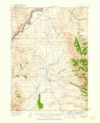
1934 · American Falls
USGS Topo · 1:62,500
1934 · Rockland
USGS Topo · 1:62,500

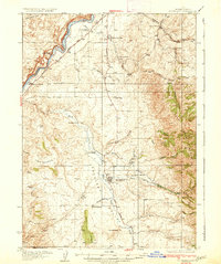
1936 · American Falls
USGS Topo · 1:62,500
1937 · Rockland
USGS Topo · 1:62,500

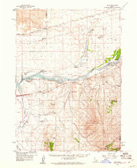
1954 · Pocatello
USGS Topo · 1:250,000

1958 · Pocatello
USGS Topo · 1:250,000
1959 · Yale
USGS Topo · 1:62,500
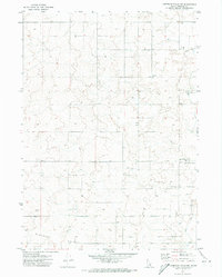
1971 · Indian Springs
USGS Topo · 1:24,000
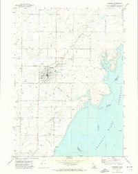
1971 · Aberdeen
USGS Topo · 1:24,000
1971 · American Falls NW
USGS Topo · 1:24,000