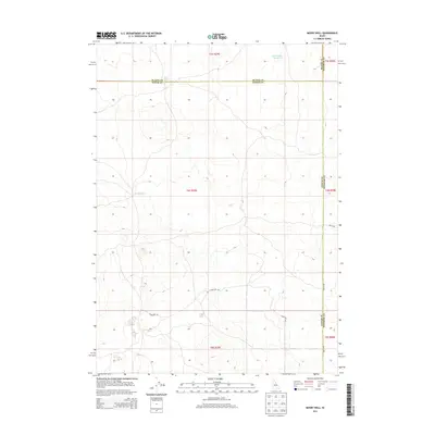
2013 Map of Mosby Well
USGS Topo · Published 2013About this map
Mosby Well serves as a central landmark in this high-desert region where Bingham, Power, and Blaine Counties converge. This 2013 survey documents a sparsely populated landscape defined by essential water sources and the grid of the Public Land Survey System. In the northern reaches, Sand Lake Reservoir and Rock Lake provide critical catchment in an otherwise arid terrain. The map captures a transition of jurisdiction and land management, with county lines intersecting across vast townships. Local transportation is represented by a strictly functional road network, including Schritter Rd and 3600 W Rd, which facilitate access across the open range. The layout of these routes highlights the late-20th-century development of rural infrastructure in Idaho's Snake River Plain region, where isolated wells and reservoirs remain the primary focal points for activity.
Find a feature on this map
15 named features on this map. Tap any name to fly to it.
Don’t see what you’re looking for? This feature index may not catch every label — zoom into the map to look around manually.
Map Details
Editions of this 2013 Mosby Well Map
This is the sole edition of this map. No revisions or reprints were ever made.
Other maps of this area

1934 · American Falls
USGS Topo · 1:62,500

1936 · American Falls
USGS Topo · 1:62,500

1954 · Pocatello
USGS Topo · 1:250,000

1955 · Idaho Falls
USGS Topo · 1:250,000

1958 · Idaho Falls
USGS Topo · 1:250,000

1958 · Pocatello
USGS Topo · 1:250,000

1971 · American Falls NW
USGS Topo · 1:24,000

1972 · Antelope Lake
USGS Topo · 1:24,000

1972 · Split Top
USGS Topo · 1:24,000

1972 · Mosby Well
USGS Topo · 1:24,000