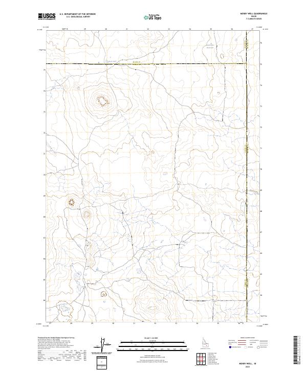
2023 Map of Mosby Well
USGS Topo · Published 2023About this map
Rock Lake and Sand Lake Reservoir punctuate a high-desert landscape defined by complex county boundaries and a grid of rural access routes. Situated at the junction of Blaine, Power, and Bingham counties, this region represents a critical point of intersection for local administration and land management. The sparse hydrography and dispersed road network, including Flat Top Rd and 1000 South Rd, suggest a landscape primarily utilized for large-scale ranching or resource management rather than dense settlement. The presence of Co Line Rd 3600 West Rd serves as a functional marker of the transition between jurisdictions in this remote portion of southern Idaho.
Find a feature on this map
14 named features on this map. Tap any name to fly to it.
Don’t see what you’re looking for? This feature index may not catch every label — zoom into the map to look around manually.
Map Details
Editions of this 2023 Mosby Well Map
This is the sole edition of this map. No revisions or reprints were ever made.
Other maps of this area

1934 · American Falls
USGS Topo · 1:62,500

1936 · American Falls
USGS Topo · 1:62,500

1954 · Pocatello
USGS Topo · 1:250,000

1955 · Idaho Falls
USGS Topo · 1:250,000

1958 · Idaho Falls
USGS Topo · 1:250,000

1958 · Pocatello
USGS Topo · 1:250,000

1971 · American Falls NW
USGS Topo · 1:24,000

1972 · Antelope Lake
USGS Topo · 1:24,000

1972 · Split Top
USGS Topo · 1:24,000

1972 · Mosby Well
USGS Topo · 1:24,000