Loading...
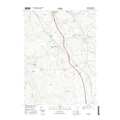
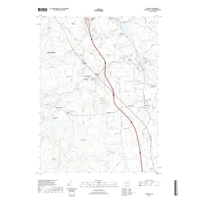
Loading map...1946 Map of Moscow
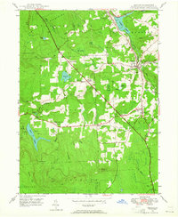
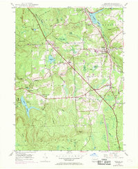
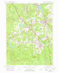
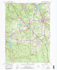
USGS Topo · Published 1964About this map
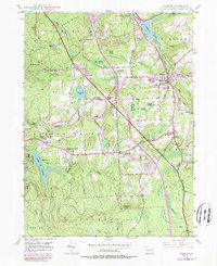
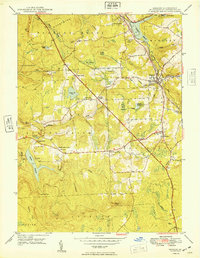
The Moosic Mountains dominate the western portion of this mid-century survey, creating a topographical barrier that shaped the early settlement patterns of Lackawanna County. The Delaware Lackawanna and Western RR and the Erie RR cut through the high ground, connecting the industrial coal regions with the wider eastern markets. Major water infrastructure is prominent here, notably the Watres Reservoir and the Elmhurst Reservoir, which punctuate the landscape of Madison and Spring Brook townships.
Find a feature on this map
54 named features on this map. Tap any name to fly to it.
Don’t see what you’re looking for? This feature index may not catch every label — zoom into the map to look around manually.
Map Details
Date Portrayed1946
Date Published1964
PublisherU.S. Geological Survey
Map TypeTopographic
Scale1:24,000
Physical Dimensions22.1 x 27 inches
Editions of this 1946 Moscow Map
5 editions found
Historical Maps of Scranton Through Time
7 maps found
Featured Locations
Source Details
SourceU.S. Geological Survey
CopyrightPublic Domain