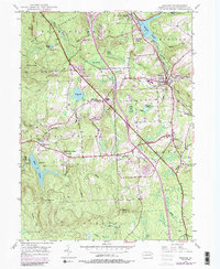
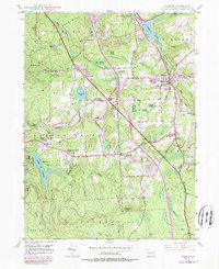
1946 Map of Moscow
USGS Topo · Published 1989About this map
The Moosic Mountains dominate the northwestern horizon of this region, which was mapped following the Second World War with later revisions reflecting mid-century growth. The town of Moscow serves as a central hub, where the Lackawanna RR and Erie RR create a critical transit corridor through the Roaring Brook valley. This intersection of rail lines and early roads supported a landscape of scattered rural communities and crossroads, including Tooley Corners, Quinlan Corners, and Spring Brook Corners.
Find a feature on this map
60 named features on this map. Tap any name to fly to it.
Don’t see what you’re looking for? This feature index may not catch every label — zoom into the map to look around manually.
Map Details
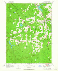
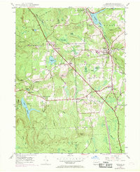
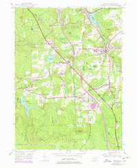
Editions of this 1946 Moscow Map
5 editions found
Other maps of this area

1889 · Scranton
USGS Topo · 1:62,500

1891 · Scranton
USGS Topo · 1:62,500

1893 · Scranton
USGS Topo · 1:62,500

1919 · Pocono
USGS Topo · 1:62,500

1921 · Pocono
USGS Topo · 1:62,500

1922 · Stoddartsville
USGS Topo · 1:62,500

1923 · Pocono
USGS Topo · 1:62,500

1924 · Stoddartsville
USGS Topo · 1:62,500

1928 · Ariel
USGS Topo · 1:62,500

1932 · Ariel
USGS Topo · 1:62,500