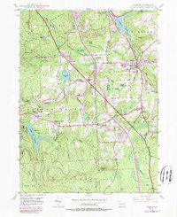
1946 Map of Moscow
USGS Topo · Published 1989About this map
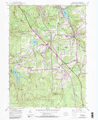
Moscow serves as a primary hub within this pocket of the Moosic Mountains, where the Roaring Brook and the Conrail (Lackawanna) railroad corridor dictated the expansion of early settlements. The landscape is defined by its water management and agricultural origins, evidenced by the numerous named swamps and reservoirs like Elmhurst Reservoir and Panther Reservoir, alongside smaller family-named landmarks such as Hazard Pond and Benjamin Pond.
Find a feature on this map
56 named features on this map. Tap any name to fly to it.
Don’t see what you’re looking for? This feature index may not catch every label — zoom into the map to look around manually.
Map Details
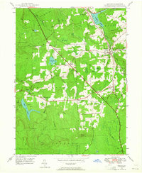
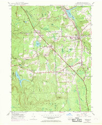
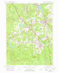
Editions of this 1946 Moscow Map
5 editions found
Other maps of this area

1889 · Scranton
USGS Topo · 1:62,500

1891 · Scranton
USGS Topo · 1:62,500

1893 · Scranton
USGS Topo · 1:62,500

1919 · Pocono
USGS Topo · 1:62,500

1921 · Pocono
USGS Topo · 1:62,500

1922 · Stoddartsville
USGS Topo · 1:62,500

1923 · Pocono
USGS Topo · 1:62,500

1924 · Stoddartsville
USGS Topo · 1:62,500

1928 · Ariel
USGS Topo · 1:62,500

1932 · Ariel
USGS Topo · 1:62,500