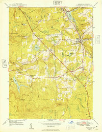
1949 Map of Moscow
USGS Topo · Published 1949About this map
The Moosic Mountains overlook a landscape defined by critical transportation corridors and water infrastructure just after World War II. The Erie RR and Delaware Lackawanna and Western RR bisect the region near Moscow, facilitating movement through the rugged terrain of Lackawanna and Covington townships. Large-scale water management is evident in the presence of the Watres Reservoir and Elmhurst Reservoir, which dominate the local hydrology alongside Roaring Brook.
Find a feature on this map
57 named features on this map. Tap any name to fly to it.
Don’t see what you’re looking for? This feature index may not catch every label — zoom into the map to look around manually.
Map Details
Editions of this 1949 Moscow Map
This is the sole edition of this map. No revisions or reprints were ever made.
Other maps of this area

1889 · Scranton
USGS Topo · 1:62,500

1891 · Scranton
USGS Topo · 1:62,500

1893 · Scranton
USGS Topo · 1:62,500

1919 · Pocono
USGS Topo · 1:62,500

1921 · Pocono
USGS Topo · 1:62,500

1922 · Stoddartsville
USGS Topo · 1:62,500

1923 · Pocono
USGS Topo · 1:62,500

1924 · Stoddartsville
USGS Topo · 1:62,500

1928 · Ariel
USGS Topo · 1:62,500

1932 · Ariel
USGS Topo · 1:62,500