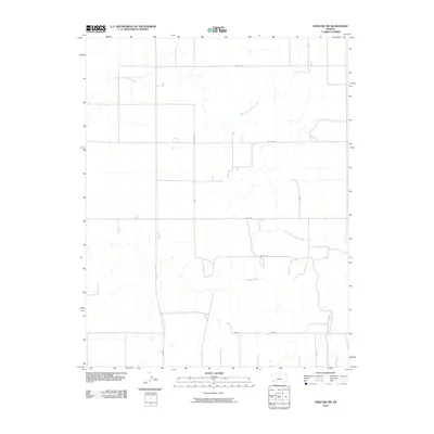
2010 Map of Moscow NW
USGS Topo · Published 2010About this map
The North Fork Cimarron River meanders across this rural section of Sullivan Township, eventually joining the primary Cimarron River in the southern portion of the quadrangle. This 2010 landscape in Grant County is defined by a rigid grid of agricultural access roads, including S Rd R and S Rd S, which facilitate movement across the High Plains terrain. The network of county roads like Co Rd 18 and Co Rd 23 provides structure to the large-scale farming operations typical of western Kansas. Scattered industrial or agricultural pads appear along these thoroughfares, reflecting the region's modern land-use patterns where water drainage from the river forks and a system of section-line roads dictate the geography of the local economy.
Find a feature on this map
13 named features on this map. Tap any name to fly to it.
Don’t see what you’re looking for? This feature index may not catch every label — zoom into the map to look around manually.
Map Details
Editions of this 2010 Moscow NW Map
This is the sole edition of this map. No revisions or reprints were ever made.
Other maps of this area

1891 · Larned
USGS Topo · 1:125,000

1900 · Lakin
USGS Topo · 1:125,000

1944 · Moscow
USGS Topo · 1:62,500

1945 · Moscow
USGS Topo · 1:62,500

1955 · Dodge City
USGS Topo · 1:250,000

1958 · Dodge City
USGS Topo · 1:250,000

1959 · Dodge City
USGS Topo · 1:250,000

1959 · Ulysses
USGS Topo · 1:24,000

1959 · Hickok
USGS Topo · 1:24,000

1960 · Hickok SE
USGS Topo · 1:24,000