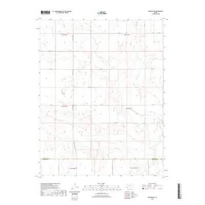
2018 Map of Moscow NW
USGS Topo · Published 2018About this map
The Cimarron River and its northern tributary, the N Fork Cimarron River, dominate this Southwest Kansas landscape. Situated along the boundary where Grant County and Stevens County meet, the terrain is characterized by the winding river valleys cutting through the high plains. The map reveals a systematic grid of section lines and rural thoroughfares, including the primary north-south Moscow Hickok Rd. This network of roads, such as Co Rd 18 and Co Rd 22, reflects the enduring agrarian structure of the region in the early 21st century. The map provides a clear view of the drainage patterns of the Cimarron River basin, showing the subtle relief of the land as it slopes toward the riverbeds, which are vital features in this arid portion of the state.
Find a feature on this map
19 named features on this map. Tap any name to fly to it.
Don’t see what you’re looking for? This feature index may not catch every label — zoom into the map to look around manually.
Map Details
Editions of this 2018 Moscow NW Map
This is the sole edition of this map. No revisions or reprints were ever made.
Other maps of this area

1891 · Larned
USGS Topo · 1:125,000

1900 · Lakin
USGS Topo · 1:125,000

1944 · Moscow
USGS Topo · 1:62,500

1945 · Moscow
USGS Topo · 1:62,500

1955 · Dodge City
USGS Topo · 1:250,000

1958 · Dodge City
USGS Topo · 1:250,000

1959 · Dodge City
USGS Topo · 1:250,000

1959 · Ulysses
USGS Topo · 1:24,000

1959 · Hickok
USGS Topo · 1:24,000

1960 · Hickok SE
USGS Topo · 1:24,000