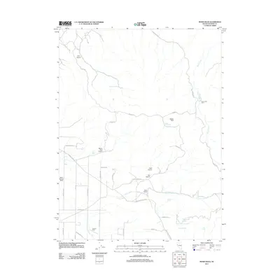
2011 Map of Moses Rock
USGS Topo · Published 2011About this map
Warm Springs Valley and the surrounding high desert terrain define this landscape in Washoe County, characterized by a complex network of seasonal water sources and named canyons. Remote outposts such as Monte Cristo Ranch and the open area of Justover Field suggest a history of ranching and land use in this arid corner of Nevada. The drainage systems of Rodero Creek and Paiute Creek are fed by numerous small springs, including Moses Rock Spring and the curiously named Whisky Spring.
Find a feature on this map
40 named features on this map. Tap any name to fly to it.
Don’t see what you’re looking for? This feature index may not catch every label — zoom into the map to look around manually.
Map Details
Editions of this 2011 Moses Rock Map
This is the sole edition of this map. No revisions or reprints were ever made.
Other maps of this area

1890 · Wadsworth
USGS Topo · 1:125,000

1891 · Reno
USGS Topo · 1:125,000

1892 · Wadsworth
USGS Topo · 1:125,000

1893 · Reno
USGS Topo · 1:125,000

1894 · Wadsworth
USGS Topo · 1:125,000

1957 · Sutcliffe
USGS Topo · 1:62,500

1957 · Spanish Springs Valley
USGS Topo · 1:62,500

1957 · Wadsworth
USGS Topo · 1:62,500

1957 · Nixon
USGS Topo · 1:62,500

1957 · Reno
USGS Topo · 1:250,000