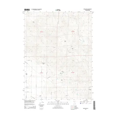
2014 Map of Moses Rock
USGS Topo · Published 2014About this map
Warm Springs Valley and the Pah Rah Range define this high-desert landscape in Washoe County. The terrain is marked by complex drainage networks, including Piute Cañon, Red Canyon, and Eagle Canyon. Isolated water sources such as Whisky Spring, Cottonwood Spring, and Moses Rock Spring indicate the critical nature of water management in this arid environment. Settlement is sparse, represented by Justover Field in the southern reaches of the map.
Find a feature on this map
44 named features on this map. Tap any name to fly to it.
Don’t see what you’re looking for? This feature index may not catch every label — zoom into the map to look around manually.
Map Details
Editions of this 2014 Moses Rock Map
This is the sole edition of this map. No revisions or reprints were ever made.
Other maps of this area

1890 · Wadsworth
USGS Topo · 1:125,000

1891 · Reno
USGS Topo · 1:125,000

1892 · Wadsworth
USGS Topo · 1:125,000

1893 · Reno
USGS Topo · 1:125,000

1894 · Wadsworth
USGS Topo · 1:125,000

1957 · Sutcliffe
USGS Topo · 1:62,500

1957 · Spanish Springs Valley
USGS Topo · 1:62,500

1957 · Wadsworth
USGS Topo · 1:62,500

1957 · Nixon
USGS Topo · 1:62,500

1957 · Reno
USGS Topo · 1:250,000