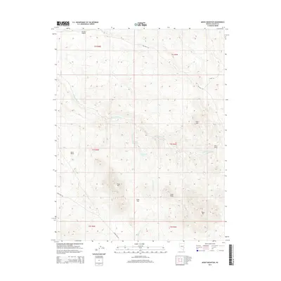
2014 Map of Mosey Mountain
USGS Topo · Published 2014About this map
Mosey Mtn anchors the southeastern landscape of this Lincoln County quadrangle, a territory defined by complex drainage systems and the high ridges of the Cedar Range. The map reveals a land dependent on scattered water sources such as Keel Spring, Chokecherry Spring, and Buckboard Spring, which appear as critical points in an otherwise arid expanse. Geologic features such as The Big Hogback and Miller Bench illustrate the dramatic elevation changes that dictate the movement of seasonal waters through Miller Spring Wash and Buckboard Wash. In this high desert environment, transportation is limited to established routes like Beaver Dam Rd and Oak Wells Rd, which navigate the gaps between peaks like Empy Mtn and Little Mtn. The detailed topographic contours highlight the navigational challenge of Empy Pass, providing a clear look at how the physical terrain has historically shaped access through this portion of eastern Nevada.
Find a feature on this map
23 named features on this map. Tap any name to fly to it.
Don’t see what you’re looking for? This feature index may not catch every label — zoom into the map to look around manually.
Map Details
Editions of this 2014 Mosey Mountain Map
This is the sole edition of this map. No revisions or reprints were ever made.
Other maps of this area

1885 · Pioche
USGS Topo · 1:250,000

1886 · Pioche
USGS Topo · 1:250,000

1921 · NW 1/4 Panaca
USGS Topo · 1:48,000

1954 · Caliente
USGS Topo · 1:250,000

1959 · Caliente
USGS Topo · 1:250,000
1970 · Panaca
USGS Topo · 1:24,000
1970 · Condor Canyon
USGS Topo · 1:24,000
1972 · Panaca Summit
USGS Topo · 1:24,000
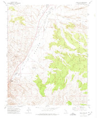
1972 · Indian Cove
USGS Topo · 1:24,000
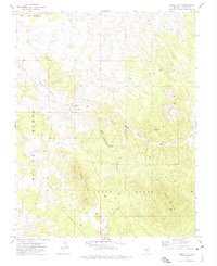
1972 · Mosey Mtn
USGS Topo · 1:24,000