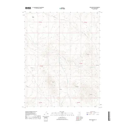
2018 Map of Mosey Mountain
USGS Topo · Published 2018About this map
Mosey Mtn anchors the southeastern corner of this high-elevation landscape in eastern Nevada, where the drainage systems of the Cedar Range carve distinct paths through the arid terrain. The area is defined by a network of seasonal watercourses and springs, including Keel Spring and Chokecherry Spring, which likely served as critical water sources in an otherwise dry environment. The topography is marked by significant elevations like Empy Mtn and The Big Hogback, creating a complex series of ridges and passes. Notable transit routes such as Oak Wells Rd and Beaver Dam Rd provide access through the mountain gaps, crossing features like Empy Pass. The map reveals a land utilized for its natural resources and passage, with topographic markers like Miller Bench and Miser Gulch indicating the localized naming of specific landforms by those working or traveling through this part of Lincoln County.
Find a feature on this map
22 named features on this map. Tap any name to fly to it.
Don’t see what you’re looking for? This feature index may not catch every label — zoom into the map to look around manually.
Map Details
Editions of this 2018 Mosey Mountain Map
This is the sole edition of this map. No revisions or reprints were ever made.
Other maps of this area

1885 · Pioche
USGS Topo · 1:250,000

1886 · Pioche
USGS Topo · 1:250,000

1921 · NW 1/4 Panaca
USGS Topo · 1:48,000

1954 · Caliente
USGS Topo · 1:250,000

1959 · Caliente
USGS Topo · 1:250,000
1970 · Panaca
USGS Topo · 1:24,000
1970 · Condor Canyon
USGS Topo · 1:24,000
1972 · Panaca Summit
USGS Topo · 1:24,000
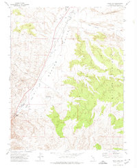
1972 · Indian Cove
USGS Topo · 1:24,000
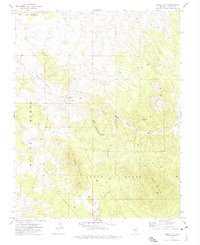
1972 · Mosey Mtn
USGS Topo · 1:24,000