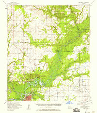
1957 Map of Moss Bluff
USGS Topo · Published 1958About this map
Calcasieu River meanders through this mid-century landscape, defining the boundaries between several parishes and shaping the settlement patterns of southwest Louisiana. The map captures the complex riverine environment of bayous, cutoffs, and marshes, including Old River Bay and the winding English Bayou. In the south, the industrial and residential expansion of Goosport and Bridge Junction contrasts with the rural character of northern settlements like Gaytine and Topsy. The map documents the early infrastructure of the Iowa Oil and Gas Field with its network of oil wells and sludge pits, while long-standing local landmarks like Perkins Ferry and the Goldsmith Grade reveal older layers of transportation history. Genealogists will find numerous family-named burial grounds, such as Lyles Cem and Nevils Cem, alongside local institutions like Moss Bluff Sch.
Find a feature on this map
97 named features on this map. Tap any name to fly to it.
Don’t see what you’re looking for? This feature index may not catch every label — zoom into the map to look around manually.
Map Details
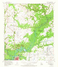
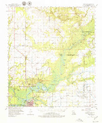
Editions of this 1957 Moss Bluff Map
3 editions found
Other maps of this area

1932 · Lake Charles NE
USGS Topo · 1:31,680

1932 · Lake Charles NW
USGS Topo · 1:31,680

1935 · Buhler
USGS Topo · 1:31,680

1935 · Moss Bluff
USGS Topo · 1:31,680

1935 · Gordon
USGS Topo · 1:31,680

1935 · Gaytine
USGS Topo · 1:31,680

1935 · Longville
USGS Topo · 1:31,680

1942 · Lake Charles
USGS Topo · 1:62,500

1946 · Lacassine
USGS Topo · 1:31,680

1947 · Gaytine
USGS Topo · 1:31,680