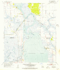
1955 Map of Moss Lake
USGS Topo · Published 1956About this map
The marshy lowlands of south Louisiana are defined here by the intersection of natural bayous and massive mid-century industrial engineering. The Calcasieu River and the artificial Calcasieu Ship Channel dominate the landscape, facilitating the region's energy economy as seen at the East Moss Lake Oil and Gas Field. Small settlements like Hackberry and Grand Lake sit at the edges of the vast Calcasieu Lake, while the presence of the Black Bayou Ferry and Ellender Ferry illustrates a time when water crossings were essential to local transit.
Find a feature on this map
37 named features on this map. Tap any name to fly to it.
Don’t see what you’re looking for? This feature index may not catch every label — zoom into the map to look around manually.
Map Details
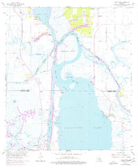
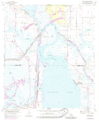
Editions of this 1955 Moss Lake Map
3 editions found
Other maps of this area

1932 · Moss Lake
USGS Topo · 1:31,680

1932 · Lake Charles NW
USGS Topo · 1:31,680

1932 · Lake Charles SW
USGS Topo · 1:31,680

1934 · Sweet Lake
USGS Topo · 1:24,000

1934 · Browns Lake
USGS Topo · 1:24,000

1935 · Sweet Lake
USGS Topo · 1:31,680

1935 · Hackberry
USGS Topo · 1:31,680

1935 · Browns Lake
USGS Topo · 1:31,680

1942 · Lake Charles
USGS Topo · 1:62,500

1946 · Moss Lake
USGS Topo · 1:31,680