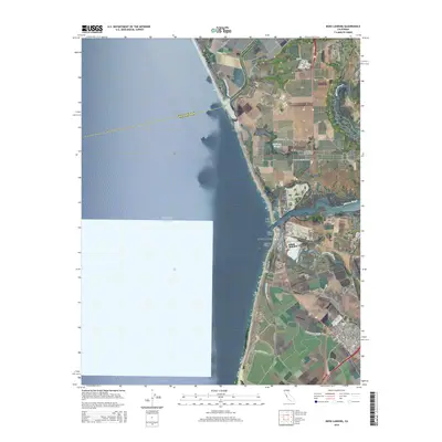
2015 Map of Moss Landing
USGS Topo · Published 2015About this map
Moss Landing and the surrounding marshlands of Monterey County are defined by a complex network of waterways where the Old Salinas River and Elkhorn Slough meet the Pacific. This 2015 survey reveals the intricate hydrological patterns of the Pajaro Valley, illustrating how the landscape is segmented by numerous tidal channels including Bennett Slough, Moro Cojo Slough, and Tembladero Slough. The coastal geography is further marked by Pauls Island and the protective reaches of Jetty Beach and Island Beach.
Find a feature on this map
47 named features on this map. Tap any name to fly to it.
Don’t see what you’re looking for? This feature index may not catch every label — zoom into the map to look around manually.
Map Details
Editions of this 2015 Moss Landing Map
This is the sole edition of this map. No revisions or reprints were ever made.
Other maps of this area

1910 · Salinas
USGS Topo · 1:31,680

1912 · Salinas
USGS Topo · 1:62,500

1912 · Capitola
USGS Topo · 1:62,500

1913 · Monterey
USGS Topo · 1:62,500

1914 · Capitola
USGS Topo · 1:62,500

1915 · San Juan Bautista
USGS Topo · 1:48,000

1917 · San Juan Bautista
USGS Topo · 1:62,500

1939 · San Juan Bautista
USGS Topo · 1:62,500

1940 · San Juan Bautista
USGS Topo · 1:62,500

1940 · Salinas
USGS Topo · 1:62,500