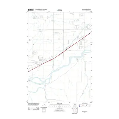
2011 Map of Mossmain
USGS Topo · Published 2011About this map
The Yellowstone River and Clarks Fork Yellowstone River converge in this section of the Yellowstone Valley, defining a landscape shaped by both natural hydrology and agricultural engineering. The settlement of Mossmain serves as a central point for transportation, situated along Old Highway 10 and the interstate corridor. To the north, the small community of Hesper is surrounded by the winding course of Canyon Creek, while the Laurel Stockyards and Laurel Municipal Airport indicate the industrial and logistical importance of the area. A complex system of water management is visible through features like the Mason Canal and High Ditch, which redirect water from the rivers to support the surrounding valley floor. This 2011 survey captures the transition between the agricultural outskirts of Laurel and the residential development encroaching from the east.
Find a feature on this map
93 named features on this map. Tap any name to fly to it.
Don’t see what you’re looking for? This feature index may not catch every label — zoom into the map to look around manually.
Map Details
Editions of this 2011 Mossmain Map
This is the sole edition of this map. No revisions or reprints were ever made.
Other maps of this area

1954 · Billings
USGS Topo · 1:250,000

1956 · Rimrock
USGS Topo · 1:24,000

1956 · Silesia
USGS Topo · 1:24,000

1956 · Two Pine School
USGS Topo · 1:24,000

1956 · Laurel
USGS Topo · 1:24,000

1956 · Yegen
USGS Topo · 1:24,000

1956 · Mossmain
USGS Topo · 1:24,000

1957 · Billings
USGS Topo · 1:250,000

1957 · Billings West
USGS Topo · 1:24,000

1958 · Billings
USGS Topo · 1:250,000