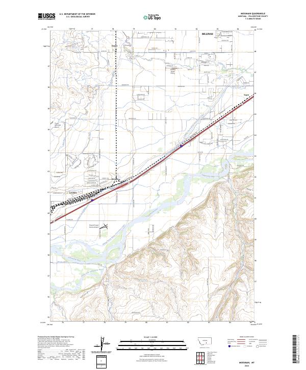
2024 Map of Mossmain
USGS Topo · Published 2024About this map
The confluence of the Clarks Fork Yellowstone River and the Yellowstone River anchors this landscape west of Billings, where water management has long dictated the layout of the land. A sophisticated network of irrigation systems, including the Billings Bench Water Association Canal, Cove Ditch, and Canyon Creek Ditch, cuts across the terrain to support agriculture between the rising bluffs and the river valley. The map documents the strategic importance of this corridor for transportation and industry, centered on the rail-related settlement of Mossmain and the neighboring community of Yegen.
Find a feature on this map
87 named features on this map. Tap any name to fly to it.
Don’t see what you’re looking for? This feature index may not catch every label — zoom into the map to look around manually.
Map Details
Editions of this 2024 Mossmain Map
This is the sole edition of this map. No revisions or reprints were ever made.
Other maps of this area

1954 · Billings
USGS Topo · 1:250,000

1956 · Rimrock
USGS Topo · 1:24,000

1956 · Silesia
USGS Topo · 1:24,000

1956 · Two Pine School
USGS Topo · 1:24,000

1956 · Laurel
USGS Topo · 1:24,000

1956 · Yegen
USGS Topo · 1:24,000

1956 · Mossmain
USGS Topo · 1:24,000

1957 · Billings
USGS Topo · 1:250,000

1957 · Billings West
USGS Topo · 1:24,000

1958 · Billings
USGS Topo · 1:250,000