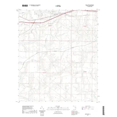
2021 Map of Mossy Head
USGS Topo · Published 2021About this map
Mossy Head serves as the primary settlement hub in this Walton County corridor, situated where the Shoal River drainage begins to give way to a complex network of southern-flowing creeks. The landscape is defined by its intricate hydrology, featuring named water bodies like Indigo Pond and Turner Ponds, alongside numerous seasonal branches such as Titi Cr and Wildcat Cr. The topography includes the distinct rise of Sandy Mtn, providing a modest contrast to the surrounding basin.
Find a feature on this map
58 named features on this map. Tap any name to fly to it.
Don’t see what you’re looking for? This feature index may not catch every label — zoom into the map to look around manually.
Map Details
Editions of this 2021 Mossy Head Map
This is the sole edition of this map. No revisions or reprints were ever made.
Other maps of this area

1934 · Niceville
USGS Topo · 1:48,000

1935 · De Funiak Springs
USGS Topo · 1:48,000

1936 · Niceville
USGS Topo · 1:62,500

1938 · De Funiak Springs
USGS Topo · 1:62,500

1949 · Glendale
USGS Topo · 1:62,500

1949 · Laurel Hill
USGS Topo · 1:62,500

1950 · Laurel Hill
USGS Topo · 1:62,500

1951 · Glendale
USGS Topo · 1:62,500

1956 · Niceville
USGS Topo · 1:62,500

1957 · Pensacola
USGS Topo · 1:250,000