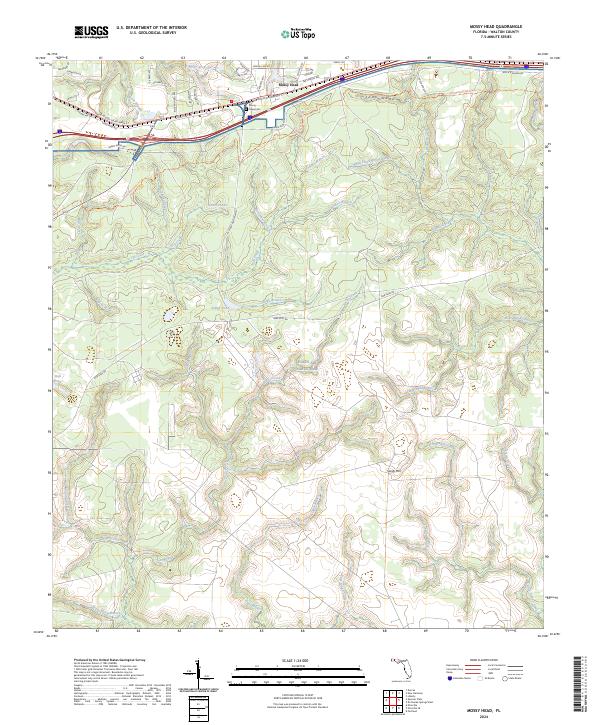
2024 Map of Mossy Head
USGS Topo · Published 2024About this map
The community of Mossy Head serves as the focal point of this Walton County landscape, centered at the intersection of modern transit corridors and rural history. Located near the Mossy Head Cem, the town sits at the northern edge of the sprawling Eglin Air Force Base, which dominates the southern half of the quadrangle. This juxtaposition highlights the transition from localized residential settlements along W Mossy Head Main St and Shoal River Rd to the expansive, undeveloped lands managed by the military.
Find a feature on this map
63 named features on this map. Tap any name to fly to it.
Don’t see what you’re looking for? This feature index may not catch every label — zoom into the map to look around manually.
Map Details
Editions of this 2024 Mossy Head Map
This is the sole edition of this map. No revisions or reprints were ever made.
Other maps of this area

1934 · Niceville
USGS Topo · 1:48,000

1935 · De Funiak Springs
USGS Topo · 1:48,000

1936 · Niceville
USGS Topo · 1:62,500

1938 · De Funiak Springs
USGS Topo · 1:62,500

1949 · Glendale
USGS Topo · 1:62,500

1949 · Laurel Hill
USGS Topo · 1:62,500

1950 · Laurel Hill
USGS Topo · 1:62,500

1951 · Glendale
USGS Topo · 1:62,500

1956 · Niceville
USGS Topo · 1:62,500

1957 · Pensacola
USGS Topo · 1:250,000