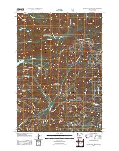
2011 Map of Mother Lode Mountain
USGS Topo · Published 2011About this map
Mother Lode Mountain and Pansy Mountain anchor the high terrain of this Marion County corridor, where the Breitenbush River and its numerous tributaries carve through the landscape. The hydrography of the region is exceptionally dense, featuring named alpine water bodies such as Elk Lake, Leone Lake, and Dunlap Lake. The presence of the Battle Creek Shelter indicates the area's importance for backcountry navigation and forest management.
Find a feature on this map
30 named features on this map. Tap any name to fly to it.
Don’t see what you’re looking for? This feature index may not catch every label — zoom into the map to look around manually.
Map Details
Editions of this 2011 Mother Lode Mountain Map
This is the sole edition of this map. No revisions or reprints were ever made.
Other maps of this area

1927 · Mt. Jefferson
USGS Topo · 1:125,000

1929 · Mill City
USGS Topo · 1:125,000

1930 · Mt. Jefferson
USGS Topo · 1:125,000

1953 · Salem
USGS Topo · 1:250,000

1954 · Salem
USGS Topo · 1:250,000

1955 · Bend
USGS Topo · 1:250,000

1956 · Battle Ax
USGS Topo · 1:62,500

1956 · Detroit
USGS Topo · 1:62,500

1957 · Bend
USGS Topo · 1:250,000

1958 · Bend
USGS Topo · 1:250,000