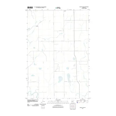
2010 Map of Motley NW
USGS Topo · Published 2010About this map
Swan Creek and Iron Creek carve through the central Cass County landscape, defining a region where water and local transit converge. The small settlement of Esterdy sits near the northern boundary, positioned just south of County Hwy 30 and east of the secluded Pulvers Lake. Further south, a cluster of significant water bodies including Dog Lake, Cat Lake, and Rice Lake illustrate the glacial hydrology characteristic of this part of Minnesota.
Find a feature on this map
27 named features on this map. Tap any name to fly to it.
Don’t see what you’re looking for? This feature index may not catch every label — zoom into the map to look around manually.
Map Details
Editions of this 2010 Motley NW Map
This is the sole edition of this map. No revisions or reprints were ever made.
Other maps of this area

1919 · Leader
USGS Topo · 1:62,500

1953 · Brainerd
USGS Topo · 1:250,000

1957 · Brainerd
USGS Topo · 1:250,000

1958 · Brainerd
USGS Topo · 1:250,000
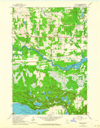
1963 · Motley SE
USGS Topo · 1:24,000

1963 · Motley
USGS Topo · 1:24,000

1965 · Brainerd
USGS Topo · 1:250,000

1966 · Staples NE
USGS Topo · 1:24,000
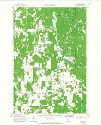
1966 · Casino
USGS Topo · 1:24,000
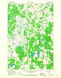
1966 · Motley NW
USGS Topo · 1:24,000