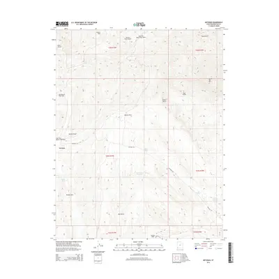
2014 Map of Motoqua
USGS Topo · Published 2014About this map
The Motoqua settlement serves as the primary focal point of this arid Washington County landscape, situated where the East Fork Beaver Dam Wash cuts through the high desert terrain. This 2014 survey captures a region defined by its critical water sources, including scattered desert oases like Cane Spring, Red Hollow Spring, and Jackson Spring. The presence of the Red Hollow Reservoir and Jackson Reservoir indicates the ongoing importance of water management for local ranching or agricultural survival in the shadow of the Mormon Range. To the east, the elevation climbs toward Square Top Mtn and Potters Peak, while the western portion of the map transitions into the northern reaches of the Mojave Desert. Historic travel corridors are represented by the Montoqua Rd and Powerline Rd, which navigate through deep topographical features such as Butcher Knife Canyon and Red Hollow.
Find a feature on this map
27 named features on this map. Tap any name to fly to it.
Don’t see what you’re looking for? This feature index may not catch every label — zoom into the map to look around manually.
Map Details
Editions of this 2014 Motoqua Map
This is the sole edition of this map. No revisions or reprints were ever made.
Other maps of this area

1885 · St. George
USGS Topo · 1:250,000

1885 · Pioche
USGS Topo · 1:250,000

1886 · Pioche
USGS Topo · 1:250,000

1891 · St. George
USGS Topo · 1:250,000

1953 · Cedar City
USGS Topo · 1:250,000

1954 · Caliente
USGS Topo · 1:250,000

1954 · Beaver Dam Mts NE
USGS Topo · 1:24,000

1954 · Gunlock
USGS Topo · 1:24,000

1958 · Cedar City
USGS Topo · 1:250,000

1958 · Docs Pass
USGS Topo · 1:24,000