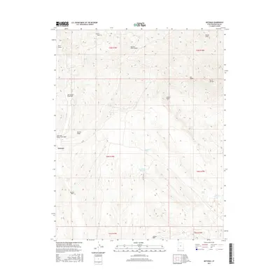
2017 Map of Motoqua
USGS Topo · Published 2017About this map
Motoqua sits at the western edge of Washington County, marking a site where desert terrain meets the foothills of the Mormon Range. The landscape is defined by the convergence of arid landforms, where the northeastern reaches of the Mojave Desert transition into a complex system of drainages including the East Fork Beaver Dam Wash and Bentley Wash. Water management is central to the area's geography, evidenced by features such as Red Hollow Reservoir and Jackson Reservoir, which collect seasonal runoff from the surrounding peaks. High points like Potters Peak and Square Top Mtn anchor the horizon, while several named springs, including Cane Spring and Bentley Spring, indicate vital water sources in this dry environment. The map also records numerous local geological landmarks such as Butcher Knife Canyon and Pegleg Gulch.
Find a feature on this map
25 named features on this map. Tap any name to fly to it.
Don’t see what you’re looking for? This feature index may not catch every label — zoom into the map to look around manually.
Map Details
Editions of this 2017 Motoqua Map
This is the sole edition of this map. No revisions or reprints were ever made.
Other maps of this area

1885 · St. George
USGS Topo · 1:250,000

1885 · Pioche
USGS Topo · 1:250,000

1886 · Pioche
USGS Topo · 1:250,000

1891 · St. George
USGS Topo · 1:250,000

1953 · Cedar City
USGS Topo · 1:250,000

1954 · Caliente
USGS Topo · 1:250,000

1954 · Beaver Dam Mts NE
USGS Topo · 1:24,000

1954 · Gunlock
USGS Topo · 1:24,000

1958 · Cedar City
USGS Topo · 1:250,000

1958 · Docs Pass
USGS Topo · 1:24,000