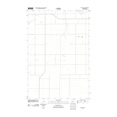
2011 Map of Mott SW
USGS Topo · Published 2011About this map
Cannonball River meanders across the northeast corner of this prairie landscape, providing a critical water source in this section of Hettinger County. The terrain is defined by a network of drainage systems, including the southward reach of Dayton Creek and the extensive winding path of Chilton Creek. Agricultural and ranching interests are evident through the naming of local landmarks such as Roemich Dam, which suggests small-scale water management on the plains. To the east, Forsch Rocks offers a break in the topography, serving as a distinct geographic marker. This survey captures the rural infrastructure of the early 21st century, centered on the primary thoroughfare of Hettinger Regent Rd.
Find a feature on this map
7 named features on this map. Tap any name to fly to it.
Don’t see what you’re looking for? This feature index may not catch every label — zoom into the map to look around manually.
Map Details
Editions of this 2011 Mott SW Map
This is the sole edition of this map. No revisions or reprints were ever made.
Other maps of this area

1953 · Dickinson
USGS Topo · 1:250,000

1957 · Dickinson
USGS Topo · 1:250,000

1966 · Mott South
USGS Topo · 1:24,000

1966 · Mott NW
USGS Topo · 1:24,000

1966 · Regent
USGS Topo · 1:24,000

1966 · Mott SW
USGS Topo · 1:24,000

1966 · Mott North
USGS Topo · 1:24,000

1973 · Abbey Hill
USGS Topo · 1:24,000

1974 · Pearl Butte NW
USGS Topo · 1:24,000

1974 · Long Butte
USGS Topo · 1:24,000