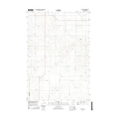
2014 Map of Mott SW
USGS Topo · Published 2014About this map
The Cannonball River meanders across the northeast corner of this 2014 survey, a primary drainage point for the high plains of Hettinger Co. The terrain is defined by a dense network of intermittent drainages, most notably Chilton Cr, which carves a complex series of draws and ridges across the central and western sections of the map. One of the few named topographical landmarks, Forsch Rocks, stands out in the eastern portion of the quadrangle near 74th St SW.
Find a feature on this map
13 named features on this map. Tap any name to fly to it.
Don’t see what you’re looking for? This feature index may not catch every label — zoom into the map to look around manually.
Map Details
Editions of this 2014 Mott SW Map
This is the sole edition of this map. No revisions or reprints were ever made.
Other maps of this area

1953 · Dickinson
USGS Topo · 1:250,000

1957 · Dickinson
USGS Topo · 1:250,000

1966 · Mott South
USGS Topo · 1:24,000

1966 · Mott NW
USGS Topo · 1:24,000

1966 · Regent
USGS Topo · 1:24,000

1966 · Mott SW
USGS Topo · 1:24,000

1966 · Mott North
USGS Topo · 1:24,000

1973 · Abbey Hill
USGS Topo · 1:24,000

1974 · Pearl Butte NW
USGS Topo · 1:24,000

1974 · Long Butte
USGS Topo · 1:24,000