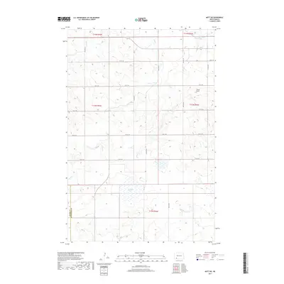
2017 Map of Mott SW
USGS Topo · Published 2017About this map
Cannonball River meanders across the northeastern corner of this landscape in Hettinger County, marking a distinct change in the rolling prairie terrain. The region is defined by its drainage systems, including Dayton Cr and the winding Chilton Cr, which provide relief to the high plains. A significant geological landmark, Forsch Rocks, rises in the eastern section of the quadrangle, offering a break in the horizontal expanse. The southern portion of the sheet features the Van-Patton Slough, an important wetland area straddling the border between Adams and Hettinger counties. This 2017 survey illustrates the sparse, grid-based development characteristic of the rural Dakotas, where primary transit is facilitated by Hwy 8 and Hwy 21 Se amidst a network of section-line roads.
Find a feature on this map
24 named features on this map. Tap any name to fly to it.
Don’t see what you’re looking for? This feature index may not catch every label — zoom into the map to look around manually.
Map Details
Editions of this 2017 Mott SW Map
This is the sole edition of this map. No revisions or reprints were ever made.
Other maps of this area

1953 · Dickinson
USGS Topo · 1:250,000

1957 · Dickinson
USGS Topo · 1:250,000

1966 · Mott South
USGS Topo · 1:24,000

1966 · Mott NW
USGS Topo · 1:24,000

1966 · Regent
USGS Topo · 1:24,000

1966 · Mott SW
USGS Topo · 1:24,000

1966 · Mott North
USGS Topo · 1:24,000

1973 · Abbey Hill
USGS Topo · 1:24,000

1974 · Pearl Butte NW
USGS Topo · 1:24,000

1974 · Long Butte
USGS Topo · 1:24,000