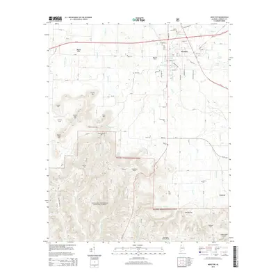
2014 Map of Moulton
USGS Topo · Published 2014About this map
Moulton serves as the focal point of this Lawrence County landscape, situated at the transition where the developed valley floor meets the northern edges of the William B. Bankhead National Forest. The map documents a classic North Alabama settlement pattern, with smaller outposts like Wren and Pinhook connected by a network of county roads such as Byler Rd and Old Hillsboro Rd. The northern half of the sheet is characterized by the gentle drainage of Sledge Cr and Eddy Cr, while the south is dominated by significant relief.
Find a feature on this map
94 named features on this map. Tap any name to fly to it.
Don’t see what you’re looking for? This feature index may not catch every label — zoom into the map to look around manually.
Map Details
Editions of this 2014 Moulton Map
This is the sole edition of this map. No revisions or reprints were ever made.
Other maps of this area

1935 · Moulton
USGS Topo · 1:24,000

1935 · Upshaw
USGS Topo · 1:24,000

1935 · Danville
USGS Topo · 1:48,000

1935 · Oakville
USGS Topo · 1:24,000

1936 · Caddo
USGS Topo · 1:24,000

1936 · Moulton
USGS Topo · 1:48,000

1936 · Masterson
USGS Topo · 1:24,000

1936 · Hatton
USGS Topo · 1:24,000

1936 · Landersville
USGS Topo · 1:24,000

1938 · Danville
USGS Topo · 1:62,500