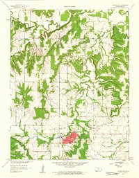
1958 Map of Mound City
USGS Topo · Published 1959About this map
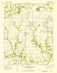
Mound City serves as the seat of Linn County, anchored by the CH and Po at its center, with the County Fairground situated along the banks of Little Sugar Creek. The landscape is defined by the winding paths of Big Sugar Creek and its many tributaries, such as Hazel Branch and Turkey Creek, which carve deep contours into the surrounding plains. To the north, an Oil Field and scattered Oil Wells indicate the region's mid-century petroleum activity.
Find a feature on this map
29 named features on this map. Tap any name to fly to it.
Don’t see what you’re looking for? This feature index may not catch every label — zoom into the map to look around manually.
Map Details
Editions of this 1958 Mound City Map
2 editions found
Other maps of this area

1887 · Mound City
USGS Topo · 1:125,000

1893 · Mound City
USGS Topo · 1:125,000

1947 · Lawrence
USGS Topo · 1:250,000

1950 · Lawrence
USGS Topo · 1:250,000

1956 · Lawrence
USGS Topo · 1:250,000
1957 · Boicourt
USGS Topo · 1:24,000

1958 · La Cygne
USGS Topo · 1:24,000
1958 · Pleasanton
USGS Topo · 1:24,000
1958 · Prescott
USGS Topo · 1:24,000
1958 · Mantey
USGS Topo · 1:24,000