Loading...
Loading map...2022 Map of Mound
USGS Topo · Published 2022About this map
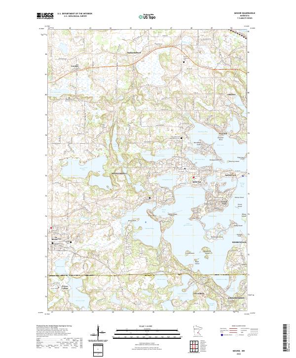
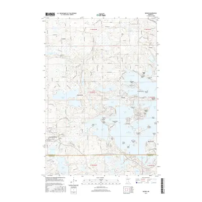
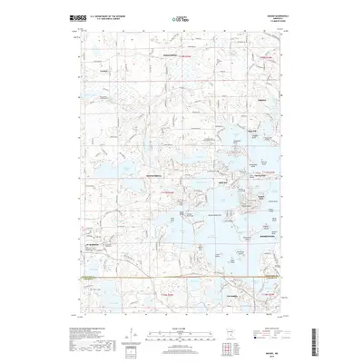
The labyrinthine western bays of Lake Minnetonka dominate this survey, revealing a landscape where water and modern suburban settlement are inextricably linked. The map details the intricate shorelines of Cooks Bay, Phelps Bay, and Halsted Bay, surrounding populated points and islands such as Island Park and Phelps Island. This geography reflects the evolution of the area from a premier summer resort region into an established residential corridor of Hennepin County.
Find a feature on this map
85 named features on this map. Tap any name to fly to it.
Don’t see what you’re looking for? This feature index may not catch every label — zoom into the map to look around manually.
Map Details
Date Portrayed2022
Date Published2022
PublisherU.S. Geological Survey
Map TypeTopographic
Scale1:24,000
Physical Dimensions24 x 29 inches
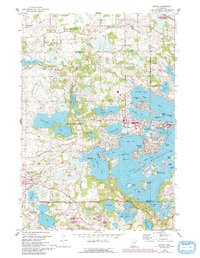
Editions of this 2022 Mound Map
This is the sole edition of this map. No revisions or reprints were ever made.
Historical Maps of Chanhassen Through Time
6 maps found
Featured Locations
Source Details
SourceU.S. Geological Survey
CopyrightPublic Domain