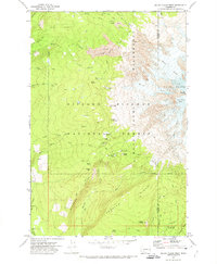
1970 Map of Mount Adams West
USGS Topo · Published 1974About this map
Mount Adams dominates the eastern boundary of this wilderness survey, its massive western slopes defined by the Adams Glacier, White Salmon Glacier, and Avalanche Glacier. The high-altitude landscape of the Gifford Pinchot National Forest is interconnected by a series of primitive routes, most notably the Pacific Crest National Scenic Trail and various pack trails. These routes once served a network of seasonal outposts and base camps such as Riley Camp, Dry Lake Camp, and the somberly named Graveyard Camp.
Find a feature on this map
60 named features on this map. Tap any name to fly to it.
Don’t see what you’re looking for? This feature index may not catch every label — zoom into the map to look around manually.
Map Details
Editions of this 1970 Mount Adams West Map
3 editions found
Other maps of this area

1904 · Mount Adams
USGS Topo · 1:125,000

1907 · Mount Adams
USGS Topo · 1:125,000

1926 · Steamboat Mtn
USGS Topo · 1:125,000

1931 · Steamboat Mtn
USGS Topo · 1:125,000

1950 · Yakima
USGS Topo · 1:250,000

1958 · Yakima
USGS Topo · 1:250,000

1961 · Yakima
USGS Topo · 1:250,000
1970 · Sleeping Beauty
USGS Topo · 1:24,000
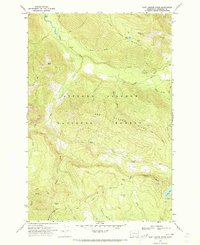
1970 · East Canyon Ridge
USGS Topo · 1:24,000
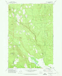
1970 · Trout Lake
USGS Topo · 1:24,000