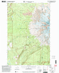
1998 Map of Mount Adams West
USGS Topo · Published 2003About this map
The Mount Adams Wilderness dominates the landscape of this 1990s revision, showcasing the dramatic transition from dense volcanic timberlands to the ice-shrouded western slopes of the Cascades. Significant ice features like the Adams Glacier, Pinnacle Glacier, and White Salmon Glacier define the high elevations near The Pinnacle. In the lower elevations of the Gifford Pinchot National Forest, the map records an intricate network of water and terrain, from the headwaters of the Lewis River and White Salmon River to the broad grassy openings at Horseshoe Meadow and Madcat Meadow.
Find a feature on this map
44 named features on this map. Tap any name to fly to it.
Don’t see what you’re looking for? This feature index may not catch every label — zoom into the map to look around manually.
Map Details
Editions of this 1998 Mount Adams West Map
This is the sole edition of this map. No revisions or reprints were ever made.
Other maps of this area

1904 · Mount Adams
USGS Topo · 1:125,000

1907 · Mount Adams
USGS Topo · 1:125,000

1926 · Steamboat Mtn
USGS Topo · 1:125,000

1931 · Steamboat Mtn
USGS Topo · 1:125,000

1950 · Yakima
USGS Topo · 1:250,000

1958 · Yakima
USGS Topo · 1:250,000

1961 · Yakima
USGS Topo · 1:250,000
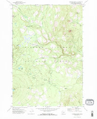
1970 · Sleeping Beauty
USGS Topo · 1:24,000
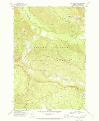
1970 · East Canyon Ridge
USGS Topo · 1:24,000
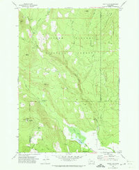
1970 · Trout Lake
USGS Topo · 1:24,000