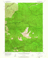
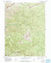
1955 Map of Mount Aire
USGS Topo · Published 1961About this map
Wasatch National Forest dominates the high-elevation landscape of this mid-century survey, revealing a network of mid-20th-century recreational sites and relic mining operations. The rugged topography is anchored by massive peaks like Gobblers Knob and Mount Raymond, while the canyon floors show the development of public lands through numerous sites like The Spruces Campground and Church Fork Picnic Ground.
Find a feature on this map
55 named features on this map. Tap any name to fly to it.
Don’t see what you’re looking for? This feature index may not catch every label — zoom into the map to look around manually.
Map Details
Editions of this 1955 Mount Aire Map
6 editions found
Other maps of this area

1885 · Salt Lake
USGS Topo · 1:250,000

1925 · Ft. Douglas
USGS Topo · 1:125,000

1928 · Ft. Douglas
USGS Topo · 1:125,000

1950 · Fort Douglas
USGS Topo · 1:24,000

1951 · Fort Douglas
USGS Topo · 1:24,000

1952 · Sugar House
USGS Topo · 1:24,000
1952 · Draper
USGS Topo · 1:24,000

1954 · Salt Lake City
USGS Topo · 1:250,000

1955 · Brighton
USGS Topo · 1:24,000

1955 · Mount Aire
USGS Topo · 1:24,000